Discovering Priority Habitats – Naturalness Assessment Training
March 14, 2024 @ 9:30 am – 3:00 pm
View the event details here. Surrey Wildlife Trust, National Trust Surrey Hills and Surrey Hills Society have collaborated to organise a free training session for our staff and […]
View the event details here.
Surrey Wildlife Trust, National Trust Surrey Hills and Surrey Hills Society have collaborated to organise a free training session for our staff and volunteers.
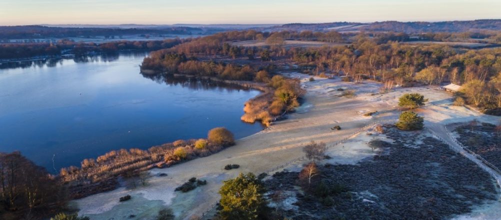
Join Josie Niemira, Priority Habitats Officer, for a free training session focused on a freshwater monitoring initiative currently being delivered in partnership between Natural England and the Freshwater Biological Association.
The training aims to train people as citizen scientists to carry out ‘naturalness assessments’ on smaller waterbodies such as rivers, streams, and lakes; areas that usually get missed by traditional monitoring methods. The collected data will inform Natural England in identifying and prioritising waterbodies for protection and restoration, as well as providing you with accessible information about the condition of your local water habitats. Further information on the project can be found on the Priority Habitats website and in the Priority Habitats FAQs.
This training is perfect if you’re interested in learning more about surveying your local water habitats and is designed both for complete beginners as well as for those who may already be involved in monitoring a local waterbody (e.g. water quality monitoring).
Naturalness data will be used by Natural England and the Natural Capital and Ecosystem Assessment Programme (NCEA) to update the official priority river/stream and lake habitat designated sites. To see what being on the priority habitat map means click here. Information on sites not currently in a state to be added to the priority habitat map will be used to inform restoration priorities. If a site is restored to a sufficient level of naturalness it can then be added to the relevant priority habitat map.
What to expect: The training session will take place from 10am-~3pm. The morning will consist of classroom based theory work, with the afternoon session taking us outside for practical survey work. Please see a rough agenda below but note that this may change slightly on the day.
As citizen scientists, you will be given guidance on how to conduct naturalness assessments. This broadly covers how to best choose survey sites, feature identification, and how to upload data to the Priority Habitats website. The survey uses four categories to assess naturalness: Physical; Hydrological; Chemical; and Biological. Rivers/streams and Lakes are evaluated using specific survey variations to accurately capture their unique features. Each category is given a score of naturalness alongside a confidence assessment as to whether this score accurately represents the feature.