Tillingbourne Tales Trails
This Heritage Lottery Funded (HLF) project focuses on the wonderful and unique industrial heritage of the Tillingbourne Valley, encouraging the villages along the valley to research and record its unique industrial past that has stamped its character on their communities.
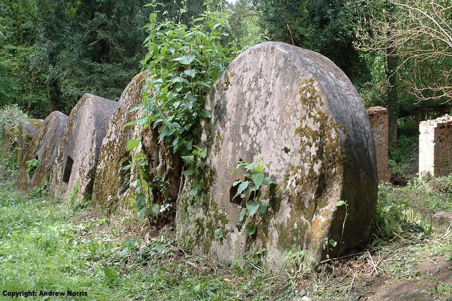
The Tillingbourne, situated in the Surrey Hills, was one of the most industrialized river valleys in 17th century England. Much of its milling had origins since at least the time of Domesday in 1086, with some of its production (such as gunpowder at Chilworth) of national importance up until the First World War.
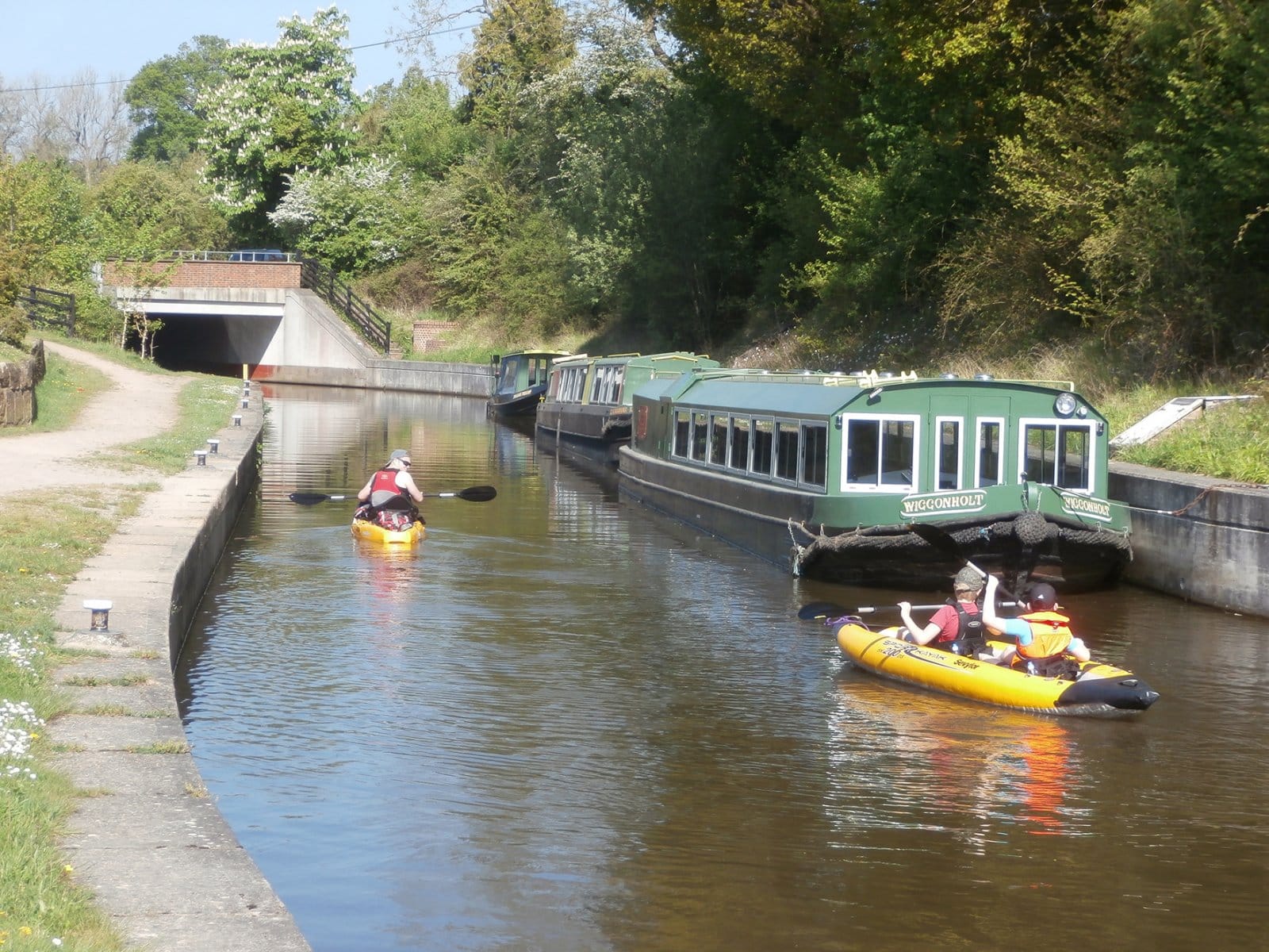
Stretching from its source at Leith Hill to where the river converges with the Wey at Shalford, the Tillingbourne’s 11 miles of constant flow led to centuries of exploitation. With approximately 50 water wheels at its height, powering 24 known mills and supporting 12 different industries at various periods in time, including weaving, tanning, iron-working, paper-milling and gunpowder production, the valley’s idyllic landscape holds a significant legacy of cultural heritage.
Discover seven circular trails


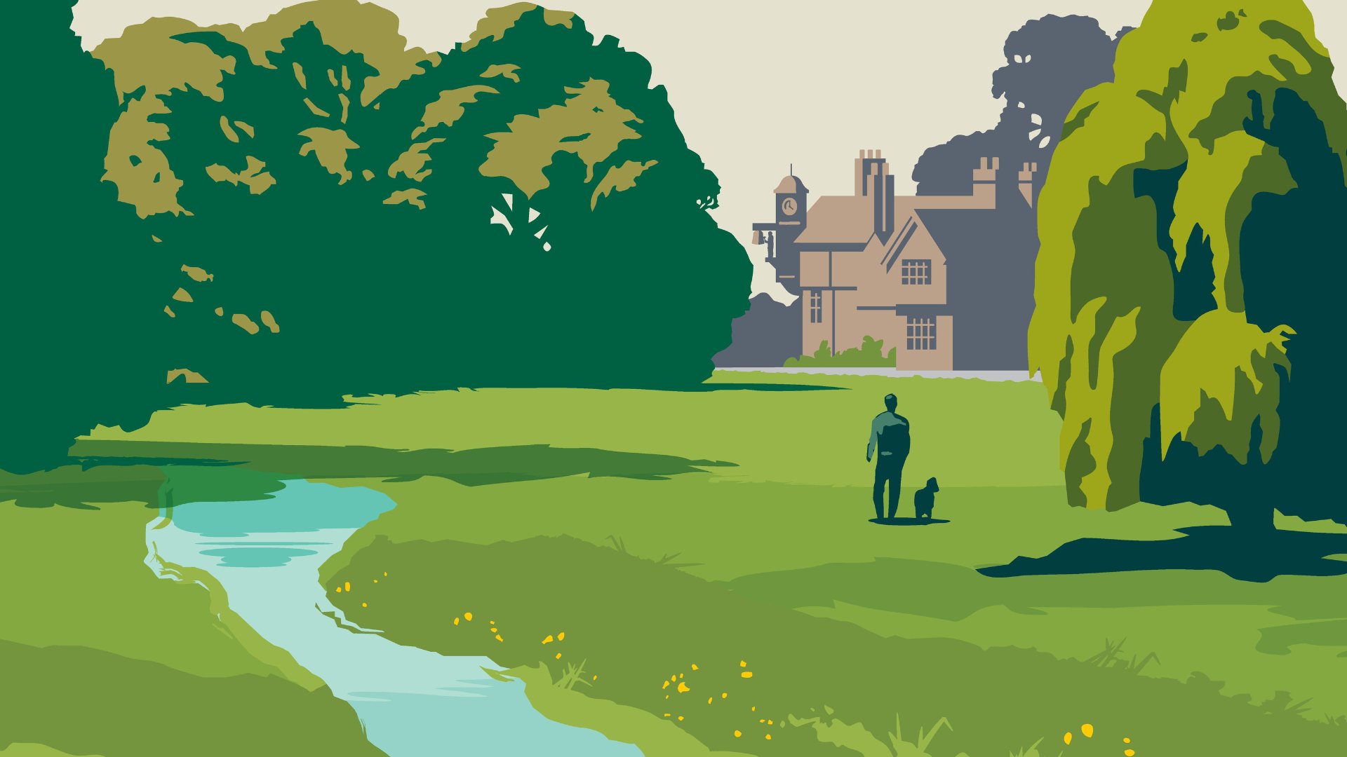
In a landscape as tranquil as the Tillingbourne Valley is today, it is difficult to imagine the time when gunpowder blasts would periodically shake foundations, effluents from manufacturing would fill the river course, air would be difficult to breathe from smoke and pollutants, and the hills would be stripped and barren. However, with the study of landscape history, where visible features, archaeological and ecological evidence, and documentary records all meet, it is possible to glean a picture of the societies and productive forces that impacted upon the valley so intensely.
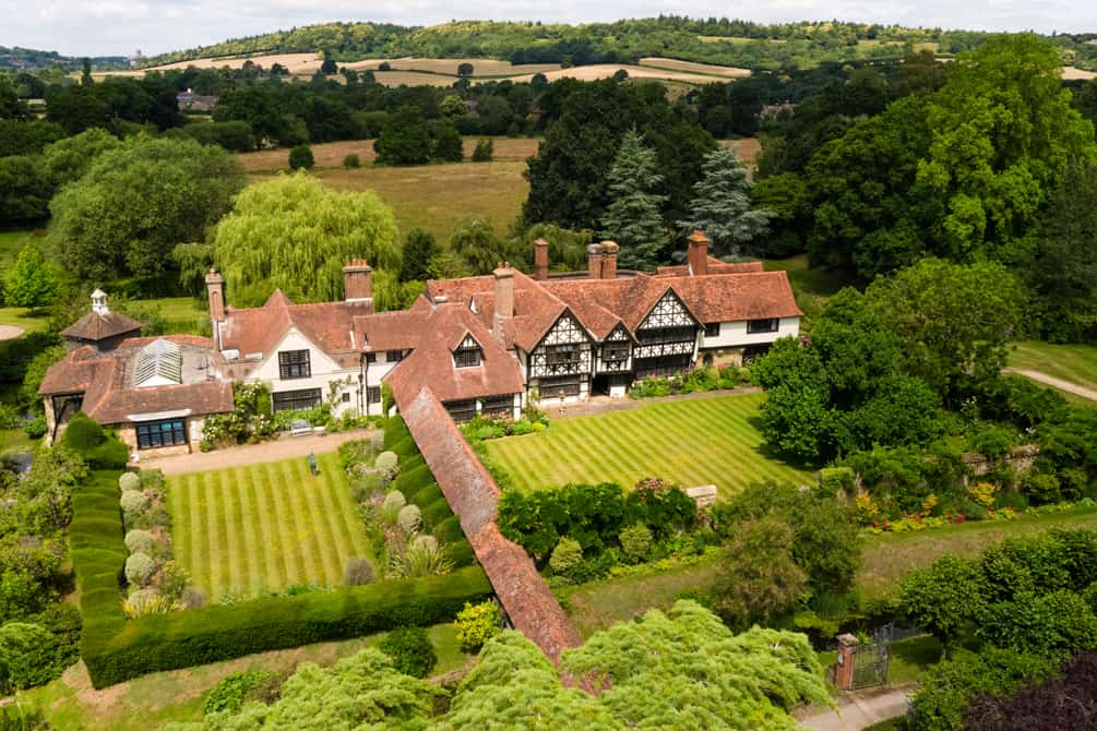
Learn more about the nationally important landscape of the Tillingbourne Valley in the Surrey Hills, whose constant flow of water drove its mills and their industries over the centuries. Although unique in their own way, the communities along the valley bottom all supported this diverse working landscape, creating a breath-taking area today which is a popular place to both live and visit.
“I do not remember to have seen such Variety of Mills and Works upon so narrow a Brook, and in so little a Compass; there being Mills for Corn, Cloth, Brass, Iron, Powder etc.” – John Evelyn, 1676
Tillingbourne mills (24 in total), from Peter Brandon’s 2005 ‘The North Downs’
Although only a small river, the combined waters of the Tillingbourne and its tributaries have a constant flow and steep gradient, making it ideal for the driving of waterwheels. As a result, a number of corn mills and later industrial sites have developed along the river over the centuries, numbering 24 in total (though not all in working condition at any one time).
Read about the various mills and mill sites across the valley, and discover more about their history and development.
“This valley, which seems to have been created by a bountiful providence, as one of the choicest retreats of man; which seems formed for a scene of innocence and happiness, has been, by ungrateful man, so perverted as to make it instrumental in effecting…the most damnable of purposes” – William Cobbett, Dorking 30 November 1822, Rural Rides (1830)
The Tillingbourne Valley has long stood-out as a major industrial centre, originating in the medieval cloth trade and later evolving into other forms of manufacture. From the early middle ages, when the river was lined with corn and fulling mills, to the water-wheel’s expanded use in the 16th and 17th centuries, driving trip-hammers for iron, brass and wire and powering wheels for the making of gunpowder and paper, the Tillingbourne has a long history of human ingenuity and engineering.
Learn about the industrial history of the Tillingbourne Valley, which supported at least 12 different industries throughout its known centuries of exploitation: corn production, fulling, gunpowder manufacturing, paper and bank note-making, wire-making, wood-milling, pumping, leather manufacturing, blacksmithing, copper-beating, weaving – many of which survived into the modern day.
A range of people have contributed to the unique heritage of the Tillingbourne Valley…from the early millers of Doomsday to the historians and archaeologists who still study them today!
Discover more about the everyday lives of other workers and estate owners in the valley.
Listen to the stories of the residents living today along the Tillingbourne and share their memories in the videos in the interactive map above.
As part of the project’s outreach programme, volunteers representing the villages in the Tillingbourne Valley have been undertaking research into their local mills, exploring their function, history and social significance. In particular, each village has been researching the life of one historical figure who represents its chosen main industry. For example, a corn miller has been selected for Shalford, a gunpowder worker for Chilworth, a weaver for Shere, a tanner for Gomshall, etc.
By being supplemented with social history of the time (what they ate, how they dressed, what village life was like at that time, etc), these histories are able to be crafted into ‘character tales’. By employing both a professional storyteller and local artist, each character is transformed into a caricature figure, and later puppet, who will visit the local schools and events in the region, telling their tale up and down the valley.
The character tales are one of the key ways to engage with the general public and with family groups. However, they also play a key role in representing what life, and industrial work in particular, would have been like during their respective period. The variety of occupations and range of periods represented, from the 16th right up to the mid-20th century, provide an eclectic insight into English modern history.
Just as the individuality of today’s villages along the Tillingbourne should not be overlooked, neither should one generalize about what a mill was like in the industrial age – discover more about the different industries which are represented along the valley, and hear the characters draw out the Tillingbourne’s unique character by listening to the tales they have to tell.
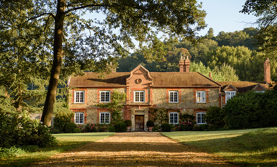
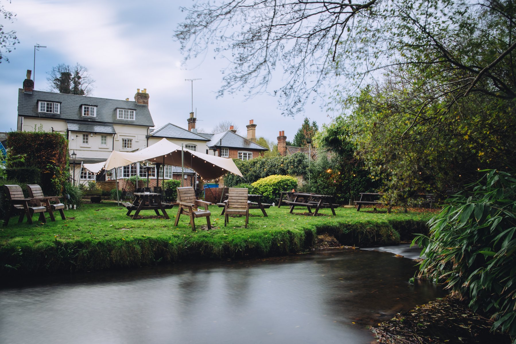
Discover local businesses


We would like to acknowledge the incredible efforts of our dedicated volunteers from across the community. This project has been made possible through the hard work and commitment of Shalford, St Martha’s, Albury, and Shere Parish Councils, the Surrey Archaeological Society, the Chilworth Gunpowder Mills Group, the National Trust, Shere Museum, the Surrey History Centre, and, of course, the Surrey Hills Society! Their invaluable contributions have been instrumental in bringing this vision to life.
